Table of Contents (16 sections)
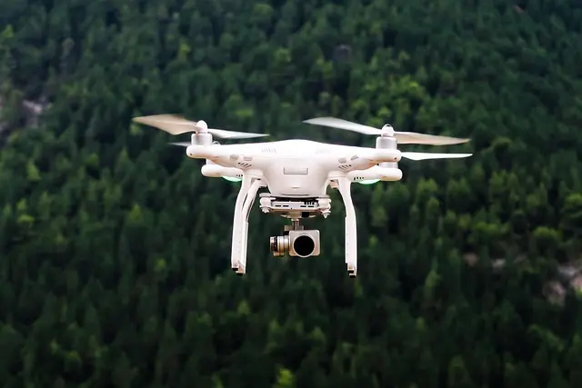
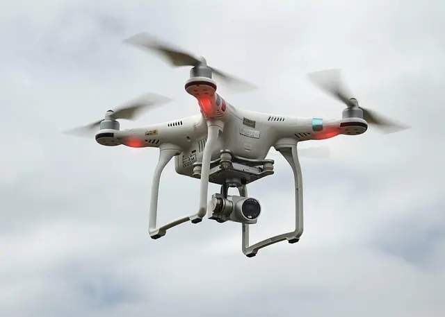
The landscape of drone technologies has evolved dramatically, affecting numerous sectors in ways previously thought impossible. As we delve into the latest drone technologies, we’ll explore how these innovations are revolutionizing industries such as logistics, agriculture, and construction. This technology not only enhances operational efficiency but also fosters sustainability and reduces costs.
Emerging Trends in Drone Technologies
1. Autonomous Delivery Drones
One of the most significant advancements in drone technology is the emergence of autonomous delivery drones. Companies like Amazon and Wing are pushing boundaries with drone delivery systems capable of transporting packages directly to consumers' doorsteps. According to a report from Mordor Intelligence, the global drone delivery market is expected to reach $29 billion by 2030, highlighting the expanding role of drones in logistics.
These drones employ advanced technologies such as AI and computer vision to navigate complex environments. In urban settings, drones can avoid obstacles by analyzing data in real time, ensuring safe delivery. A notable success story comes from Wing, which achieved over 100,000 drone deliveries in 2025, significantly decreasing delivery times and costs.
2. Agricultural Drones for Precision Farming
In agriculture, drones are making precision farming accessible. These devices can monitor crop health, optimize irrigation, and apply pesticides more effectively than traditional methods. Farmers use drones equipped with multispectral cameras to analyze crop conditions from the air, allowing for data-driven decisions.
For instance, DJI’s Agras T20 drone allows farmers to cover up to 200 acres in a single charge, showcasing the efficiency gains attainable with this technology. Research published in the Journal of Agricultural Science indicated that drones could increase crop yields by up to 15% through improved monitoring and management. The adoption rate of agricultural drones is expected to grow at a CAGR of 35% through 2026, reflecting their crucial role in future farming practices.
3. Drones in Construction and Infrastructure
Drones are becoming indispensable in the construction industry, providing aerial surveying and monitoring capabilities. They help monitor progress, assess site conditions, and ensure safety compliance. Powerful software allows construction managers to integrate drone data with GIS and 3D mapping tools.
For example, Skycatch offers a solution enabling construction teams to capture high-resolution data efficiently, facilitating timely decision-making. According to Research and Markets, the construction drone market is set to reach $9.4 billion by 2026, reflecting the growing reliance on aerial technology for project management.
4. Emergency Response and Disaster Management
Drones are proving invaluable in emergency response scenarios. They aid in disaster assessment, search and rescue operations, and efficient resource allocation. Equipped with thermal imaging cameras, drones can locate missing persons in challenging terrains.
An example includes the use of drones during the Australian bushfires in 2025. Drones enabled rapid assessments of fire-affected areas, helping emergency services allocate resources effectively. Data from the Emergency Management Agency shows that drone deployment reduced response times by 45%, showcasing their potential in saving lives and resources.
5. Environmental Monitoring
The latest drone technologies are also pivotal in environmental monitoring and conservation efforts. Drones equipped with sensors and cameras can collect data on forest health, biodiversity, and pollution levels. This technology empowers researchers to monitor environments difficult to access on foot.
NASA uses drone technology to assess air quality and measure greenhouse gas emissions from urban areas. Statistics reveal that environmental drones can gather data 80% faster than traditional methods, significantly enhancing research capabilities and timely response to ecological threats.
Comparison of Drone Applications Across Industries
| Industry | Application | Technology | Benefits |
|---|---|---|---|
| Logistics | Delivery | Autonomous flight, AI navigation | Reduced costs, speed |
| Agriculture | Crop monitoring | Multispectral imaging, data analysis | Yield increase, resource efficiency |
| Construction | Site surveying | 3D mapping, aerial data integration | Time-saving, improved accuracy |
| Emergency Response | Search and rescue | Thermal imaging, real-time data | Enhanced safety, rapid response |
| Environmental | Pollution monitoring | Sensor technology, aerial imaging | Efficient data collection |
What are the latest advancements in drone technology?
The latest advancements include autonomous delivery systems, agricultural monitoring, and enhanced imaging capabilities for emergency response and environmental monitoring.
How are drones used in agriculture?
Drones are used for precision farming, such as crop health monitoring, irrigation management, and pesticide applications, significantly improving yield and efficiency.
What regulations exist for commercial drone use?
Regulations vary by country, but generally, they require registration, licensing, and adherence to airspace restrictions and privacy laws. Consult local aviation authorities for specific regulations.
How can drones improve logistics?
Drones can improve logistics by offering faster delivery times, reducing operational costs, and providing real-time tracking and inventory management.


Qukenk - 10.1 Inch Android 14 Tablet 2025 Latest Octa-Core Tablets, 64GB ROM+8(4+4)GB RAM, 2 in 1 Tablet with Keyboard
bestbuy.com

Argon Technologies Inc., dba Klymit Rightline Gear Memory Foam Camp Pillow - Green - Large
sharperimage.com
Glossary
| Term | Definition |
|---|---|
| Autonomous Drones | Drones capable of operating without human intervention through AI and programmed flight paths. |
| Multispectral Imaging | A technique allowing drones to capture data across multiple wavelengths for detailed analysis. |
| GIS | Geographic Information System, technology used for mapping and analyzing spatial data. |
Checklist before purchasing a drone
- [ ] Assess your primary use case (delivery, monitoring, etc.)
- [ ] Research local regulations regarding drone usage
- [ ] Compare specifications of various drone models
- [ ] Check compatibility with software and tools you use
- [ ] Read user reviews and expert opinions
📺 Resource Video
For more insights: Check out “The Future of Drones: Advancements in Technology 2026” on YouTube to explore real-world applications and expert predictions.
In conclusion, the latest drone technologies are rapidly changing industry standards and operational capabilities. By embracing these innovations, businesses across various sectors can enhance efficiency, reduce costs, and improve overall service delivery. As we look ahead, the integration of drones into everyday use is sure to expand, ultimately reshaping how we interact with technology in our daily lives. Explore our recommended products to find suitable drones and accessories for your needs.
📺 Pour aller plus loin : The Future of Drones 2026 advancements sur YouTube
Recommended products
Selected by our experts

Qukenk - 2026 Latest Android 14 Tablet, 2 in 1 Tablet 10.1 Inch, Tablets with Keyboard, 128GB ROM + 14GB RAM, Octa-Core
bestbuy.com

Qukenk - Tablet with Keyboard Android 14 Tablet 10.1 inch 2025 Latest 8GB RAM 64GB ROM Octa-Core, 2 in 1 Tablet with Case - Silver
bestbuy.com

MEIZE - 2026 Latest 11 inch Tablet, Android Tablets with 16GB RAM 128GB ROM 1TB Expand, Tablet with Keyboard, Octa-Core Pad - Gray
bestbuy.com

Kimlok - 2025 Latest Octa-Core Android 13 Tablet, 14(8+6) GB RAM 128GB ROM 1TB Expand Tablets 10 inch Tablet with Keyboard - Gray
bestbuy.com

MEIZE - Android 14 Tablet 2025 Latest 11 Inch Tablets, 128GB+16(8+8 Expand)GB/512GB Expandable, Octa-Core Tablet Newest
bestbuy.com

Kimlok - Tablet 10.1 inch 2025 Latest Android14 Tablet 128GB ROM+14GB RAM+1TB Expand Octa-Core Tablets with Keyboard
bestbuy.com