Table of Contents (15 sections)
Introduction
In the era of urbanization, cities around the world are facing unprecedented challenges in terms of infrastructure, resources, and citizen engagement. The advent of drone technology has emerged as a game-changer, offering innovative solutions to not just manage but also improve urban environments. This article delves into how drone technology is being integrated into smart city initiatives, enhancing urban planning and management while fostering sustainable development.
Understanding Drone Technology
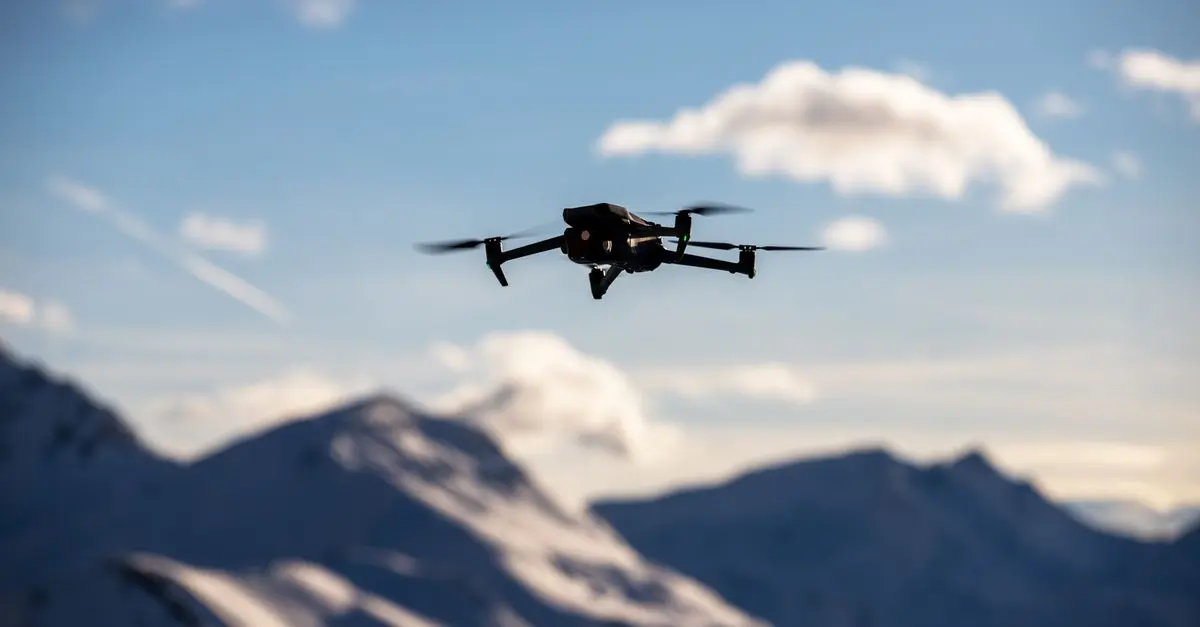
Drone technology refers to the use of unmanned aerial vehicles (UAVs) equipped with sensors, cameras, and other technologies for various applications. These aircraft can be remotely controlled or fly autonomously through software-controlled flight plans in their software. This versatility makes them suitable for a wide variety of tasks, such as surveying, mapping, monitoring, and delivery services.
In the context of smart cities, drones play a vital role in data collection and analysis, which is crucial for effective urban planning. With the capability to capture high-resolution images, conduct thermal imaging, and gather quantitative data in real-time, drones provide city planners and managers with valuable insights into urban landscapes. This, in turn, aids in making informed decisions that enhance overall quality of life for residents.
Data collected via drones can also contribute to a more accurate urban planning process. For instance, high-definition aerial imagery creates detailed maps that can be instrumental in zoning, infrastructure development, and environmental assessments. Therefore, the integration of drone technology into smart city initiatives aligns perfectly with the objectives of efficient resource management, continuous monitoring, and sustainability.
How Drones Enhance Urban Planning
Implementing drones within smart city frameworks significantly enhances urban planning processes in a multitude of ways. Firstly, they allow for real-time monitoring of urban environments. For example, drones can assess traffic patterns and congestion points, enabling city officials to strategize and improve transportation systems.
Secondly, drones facilitate comprehensive environmental analysis. Climate data gathered through aerial surveys helps cities track pollution levels and assess their impact on health and well-being. Additionally, this data can guide the placement of green spaces and urban forests, optimizing airflow and mitigating urban heat.
Thirdly, through techniques like photogrammetry, drones can produce 3D maps of urban areas efficiently. These resources assist planners in simulating various development scenarios, such as transportation upgrades or new construction projects, allowing for evidence-based decision-making. The integration of drones into planning processes not only increases efficiency but also heightens community engagement as residents can visually see and understand proposed changes through aerial footage and interactive maps.
Case Studies and Real-World Applications
Numerous cities are already leveraging drone technology in their smart city frameworks. In Dubai, for instance, drones are utilized for traffic monitoring and urban mapping. The city’s Roads and Transport Authority employs drones to analyze traffic data, allowing for dynamic road improvement strategies.
Meanwhile, San Francisco is using drones to assess building conditions for renovations and construction projects. This initiative not only streamlines inspections but also saves valuable time and resources. Drones are also beneficial in emergency response scenarios, providing city services with vital situational awareness rapidly.
Furthermore, international examples showcase how drone technology can enhance urban resilience. During the recent post-hurricane recovery efforts in various Caribbean cities, drones were instrumental in damage assessment, allowing officials to prioritize areas needing immediate attention and assistance. Such applications highlight how drone technology not only improves everyday urban management but also helps in crisis situations.
Challenges and Future Outlook
Despite the numerous benefits of drone technology in smart city development, several challenges remain. Regulatory frameworks governing airspace usage and privacy laws must evolve to ensure both security and public trust. Moreover, public perception around drones can sometimes be wary due to concerns over surveillance and data privacy.
Additionally, issues such as battery life, payload capacity, and data security need addressing as technology progresses. However, as urban areas continue to grow, the demand for innovative solutions like drone technology will likely increase.
The future of smart cities strongly hinges on technologies that foster sustainability and efficiency. As cities become smarter, it’s crucial for policymakers to embrace and adapt to the opportunities that drones offer. Integrating drones as a standard tool in urban planning will pave the way toward more resilient, responsive, and accessible urban environments.
What are the primary uses of drones in smart cities?
Drones are used for traffic analysis, environmental monitoring, urban mapping, and emergency response efforts.
How do drones collect data for city planning?
Drones can capture high-resolution imagery, conduct temperature readings, and gather other quantitative data using sensors during their flights.
Are there any privacy concerns related to drone usage?
Yes, discussions around data privacy and surveillance are vital as drone technology becomes more widespread in urban areas.
How can drone technology improve sustainability in cities?
Drones help monitor environmental conditions, assess pollution, and support the optimization of green spaces contributing to urban sustainability goals.
Glossary
| Term | Definition |
|---|
| Drones | Unmanned aerial vehicles controlled either remotely or autonomously to perform various tasks.
| Smart Cities | Urban areas that use technology to enhance performance and quality of life through data-driven decision-making.
| Urban Planning | The process of making land use decisions and promoting sustainable city growth.
Checklist Before Implementation
- [ ] Assess regulatory requirements for drone usage in your city.
- [ ] Identify specific urban planning challenges that drones can address.
- [ ] Evaluate potential partnerships with drone technology providers.
- [ ] Engage community stakeholders for input and support.
- [ ] Develop data privacy and security protocols for drone operations.
📺 Resource Video
For more insights on how drones are shaping urban landscapes, explore detailed analyses of drone applications in smart city initiatives. Look up how drones are used in smart cities 2026 on YouTube.
📺 Pour aller plus loin : how drones are used in smart cities 2026 sur YouTube
Recommended products
Selected by our experts
Fly Drones Like a Pro – Beginner to Intermediate
Alison US CA
This product is perfect for beginners looking to understand drone operations, vital for participating in smart city initiatives.
Introduction to Drones
Alison US CA
An essential introduction for anyone eager to leverage drones in urban planning and management.