Table of Contents (11 sections)
Aerial surveys drones have become a game-changer in the field of surveying, transforming various industries from construction to agriculture. Their ability to capture high-resolution images and gather data efficiently has made them indispensable tools for professionals. Understanding the benefits of aerial surveys with drones can provide insights into why they are preferred over traditional surveying methods. In this article, we will explore how drones are revolutionizing aerial surveying and the advantages they bring to various sectors.
Information on Aerial Surveys Drones
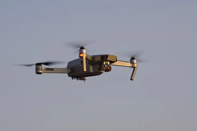
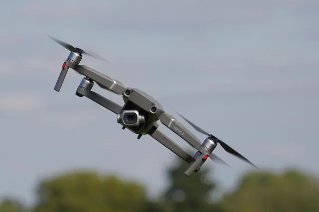
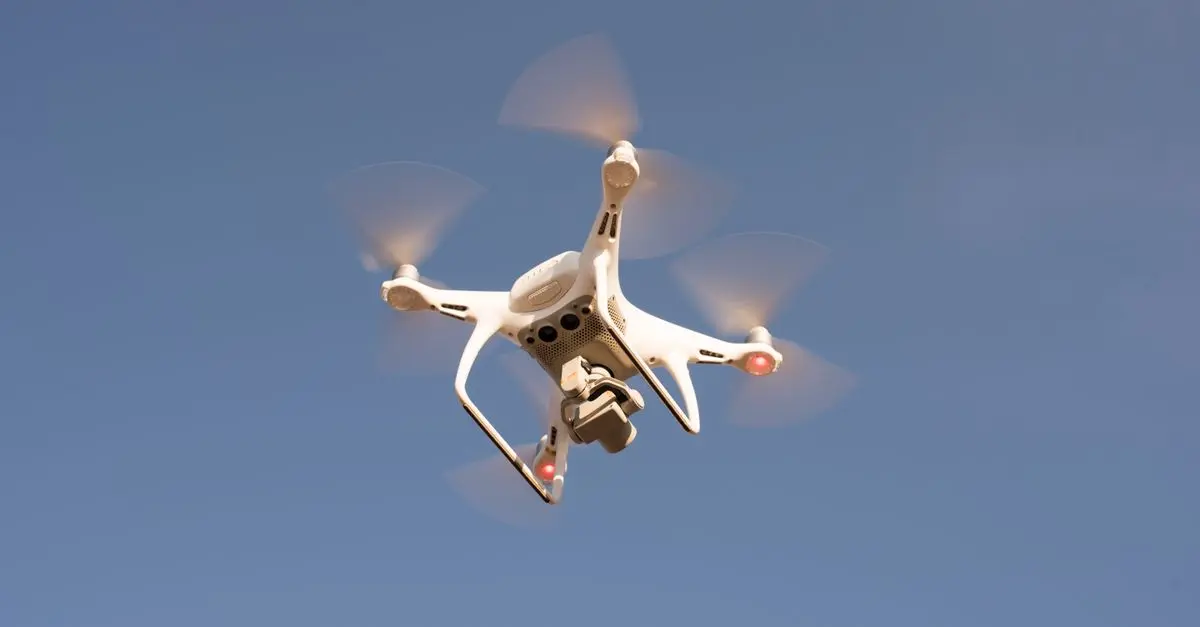
Aerial surveys using drones refer to the collection of data through aerial imaging, typically using unmanned aerial vehicles (UAVs). Drones are equipped with advanced cameras and sensors that allow for accurate 3D mapping, photogrammetry, and geographic information system (GIS) analysis. The primary advantage of using drones for aerial surveys is their ability to access areas that are either difficult to reach or unsafe for ground surveying.
According to a report from Deloitte, the commercial drone service market is expected to reach around $63 billion by 2025, demonstrating the growing reliance on these technologies in various sectors. The Federal Aviation Administration (FAA) notes that UAVs are becoming a standard surveying tool for construction, mining, and environmental monitoring. By utilizing drones, surveyors can achieve higher accuracy and efficiency, reducing the time and labor costs associated with traditional methods.
Procedural Steps for Conducting Aerial Surveys
When conducting aerial surveys with drones, there are several steps to follow to ensure accurate data collection:
- Planning the Flight: This includes selecting the survey area and determining the flight path. A pre-flight survey helps to identify obstacles such as trees or buildings that may interfere with the drone's path.
- Setting Up Equipment: Calibrating the drone and mounting the appropriate cameras and sensors is essential for optimal performance. Choose sensors based on the specific needs of the survey, such as thermal sensors for agriculture or LiDAR for landscape mapping.
- Executing the Flight: Once planning and setup are complete, initiate the flight. Drones can operate autonomously or can be manually controlled to capture images and data.
- Data Processing: After the flight, the data needs to be processed using specialized software to create maps and 3D models. Software options include Pix4D, DroneDeploy, and others that provide powerful tools for data analysis.
- Reporting Findings: Finally, compile the data into reports that highlight findings, patterns, and recommendations based on the survey results.
Follow these steps carefully to maximize the advantages of drone surveying.
Comparative Analysis: Drones vs. Traditional Surveying
To determine the effectiveness of aerial surveys with drones compared to traditional methods, consider the following table:
| Criterion | Aerial Surveys Drones | Traditional Surveying | Verdict |
|---|---|---|---|
| Cost | Lower operational cost | Higher due to manpower and equipment | Drones are cost-effective. |
| Speed | Rapid data collection | Slower, depending on terrain | Drones provide quick results. |
| Accessibility | Access to remote areas | Limited by terrain | Drones can access difficult locations. |
| Data Accuracy | High precision | Moderate, depending on equipment and conditions | Drones offer superior accuracy. |
| Flexibility | Easily adaptable | Less flexible | Drones provide greater flexibility. |
Analytical Insights: Trends and Statistics
According to Statista, the drone market is projected to grow by nearly 36% annually between 2026 and 2030. The rise in drone technology has led to significant advancements in aerial surveying capabilities. For example, companies using drones have reported efficiency improvements of up to 70% in survey time, allowing organizations to complete more projects in less time. Furthermore, a study by McKinsey indicates that implementing drone technology can cut down operational costs by 25% to 40%. This remarkable potential for cost savings coupled with increased operational efficiency has made drones a preferred choice for surveying.
Expert Opinion on Aerial Surveys with Drones
> 💡 Expert Opinion: From my experience with aerial surveys using drones, it's clear that the integration of these technologies enhances both efficiency and accuracy. In many cases, we've seen project timelines cut in half while maintaining high-quality output. It's a transformation that's not just technological; it also redefines how we approach surveying. Drones solve logistical problems that have plagued traditional methods for decades, making them a vital tool moving forward.
📺 Video Resource
> 📺 To delve deeper: Watch this detailed tutorial on aerial surveying with drones and learn the best practices to enhance your surveying projects. Search YouTube for: aerial surveys drones tutorial 2026.
Glossary
| Term | Definition |
|---|---|
| Drone | An unmanned aerial vehicle (UAV) that can fly autonomously. |
| Photogrammetry | The science of making measurements from photographs, typically for mapping purposes. |
| LiDAR | A technology that uses light in the form of a pulsed laser to measure variable distances to the Earth. |
Checklist before Aerial Surveys
- [ ] Define the survey objectives.
- [ ] Choose the right equipment and sensors.
- [ ] Plan the flight path carefully.
- [ ] Ensure compliance with local regulations.
- [ ] Analyze and process the collected data effectively.
Conclusion
Aerial surveys with drones are not just a trend; they represent a fundamental shift in how surveying is conducted across multiple industries. The benefits, from cost and time savings to improved accessibility and accuracy, position drones as a critical tool for professionals. As technology continues to evolve, we can expect to see even greater innovations in aerial surveying. If you're considering implementing drone technology into your surveying practices, the advantages are clear—upgrade your methods today and lead the way into the future of surveying.