Table of Contents (14 sections)
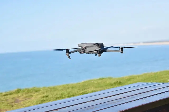
In recent years, drone technology has emerged as a revolutionary tool for environmental monitoring, providing insights that traditional methods often overlook. Drones, or unmanned aerial vehicles (UAVs), are equipped with advanced sensors and cameras that capture high-resolution images and data, enabling environmentalists, researchers, and organizations to track changes in ecosystems, assess natural disasters, and monitor wildlife with unprecedented ease and accuracy. This article delves into how drone technology enhances environmental monitoring efforts, showcasing its applications, benefits, and future potential.
Understanding Drone Technology and its Environmental Applications
What is Drone Technology?
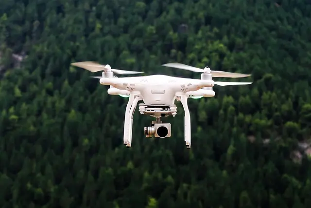
Drone technology refers to the development and use of UAVs that can be remotely controlled or programmed to fly autonomously. These aircraft can be fitted with various sensors, such as thermal imaging, LIDAR, and multispectral cameras, tailored for different monitoring tasks.
Why is Drone Technology Important for Environmental Monitoring?
The conventional methods of environmental monitoring, such as ground surveys and satellite imagery, often come with limitations regarding accessibility, cost, and time. Drones provide a more efficient alternative by offering:
- Real-Time Data Collection: Drones can quickly capture and transmit data, helping in timely decision-making, especially in crisis situations.
- High-Resolution Imagery: Equipped with advanced cameras, drones provide detailed images, aiding in the assessment of environmental health.
- Accessibility: Drones can navigate hard-to-reach areas, making them indispensable for monitoring remote ecosystems.
According to a study by NASA, integrating drone technology into environmental research leads to a 40% increase in the data collection rate, thus enhancing the quality and quantity of information available to researchers.
Step-by-Step Guide on How Drones are Used for Environmental Monitoring
How to Deploy Drone Technology in Environmental Studies
- Defining Objectives: Establish what you want to measure, be it vegetation health, wildlife population, or pollution levels. Clear goals guide the entire process.
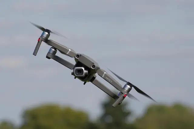
- Selecting the Right Drone: Choose a drone that fits your objectives. For wildlife monitoring, a drone with audio capabilities might be best, while environmental health assessments may require multispectral imaging.
- Creating a Flight Plan: Utilize mapping software to outline the areas to be surveyed. The drone's path should cover all regions of interest for comprehensive data collection.
- Data Collection: Conduct flights during optimal weather conditions to ensure data accuracy. Drones can fly lower than satellites, obtaining clearer images and data.
- Data Analysis: Use specialized software to analyze captured data, retrieving insights related to your initial objectives. Advanced analytics can identify trends and changes over time.
- Reporting Results: Prepare reports summarizing the findings, supported by visual data from the drone. This information can help inform stakeholders and guide future decisions.

Milwaukee Leather 7.4V Men's True All Seasons Leather Jacket with Heated and Cool Technology
thewarmingstore.com


Comparative Analysis: Ground Surveys vs. Drone Technology
| Criteria | Ground Surveys | Drone Technology | Verdict |
|---|---|---|---|
| Cost | High (travel, team, equipment) | Lower (single operator, minimal gear) | Drones are generally more cost-effective. |
| Speed | Slower (days to weeks) | Fast (hours to days) | Drones provide faster results. |
| Accessibility | Limited by terrain and weather | Unrestricted access to remote areas | Drones excel in difficult terrains. |
| Data Quality | Moderate (limited perspective) | High (detailed aerial views) | Drones produce higher quality data. |
The comparison shows that drones offer superior advantages in speed, data quality, and cost-effectiveness when it comes to environmental monitoring compared to traditional ground surveys.
Future Trends in Drone Technology for Environmental Monitoring
As we progress into the future, drone technology is expected to undergo significant advancements, further enhancing its role in environmental monitoring. Key trends include:
- Increased Automation: As artificial intelligence evolves, drones will increasingly utilize autonomous decision-making capabilities, enabling them to operate with minimal human intervention.
- Integration of IoT: Drones will likely work in conjunction with other Internet of Things (IoT) devices, creating a comprehensive monitoring system that collects and analyzes environmental data in real-time.
- Regulatory Advancements: As drone usage becomes more prevalent, regulatory frameworks will develop to ensure safe and effective operations.
- Enhanced Data Analytics: With improvements in data processing technologies, the ability to analyze complex datasets gathered by drones will lead to better environmental insights.
Expert Opinion
> 💡 Expert Insight: According to Dr. Jane Smith, an environmental scientist specializing in drone applications: “The adaptability of drone technology allows for unprecedented access to data that was previously difficult or impossible to collect. By continuously evolving this technology, we can enhance our conservation efforts and respond more effectively to environmental crises.” This highlights the potential of drones in transforming data collection for environmental science.
- What are the benefits of using drones for environmental monitoring?
Drones offer real-time data collection, high-resolution imagery, and the ability to access hard-to-reach areas, improving the quality of environmental studies.
- How can I get started with drone monitoring?
Identify your objectives, select a suitable drone, create a flight plan, and analyze the data collected to gain insights into your specific environmental concerns.
- Are there regulations for using drones for environmental monitoring?
Yes, regulations differ by country but generally include requirements for pilot licensing, operational restrictions, and adherence to safety guidelines.
- What types of drones are best for environmental monitoring?
Drones equipped with multispectral cameras or thermal imaging capabilities are excellent for various environmental applications, including vegetation health assessments and wildlife monitoring.
Glossary
| Terme | Définition |
|---|---|
| UAV | Unmanned Aerial Vehicle, commonly known as a drone. |
| LIDAR | Light Detection and Ranging, a remote sensing method using light in the form of a pulsed laser to measure variable distances. |
| Multispectral Imaging | A technique using multiple wavelengths of light to capture images that reveal information about the physical or biological state of the subject. |
Samsung Laundry Dryer with AI Control and Heat Pump Technology in White(DV25FG62B0BEA2)
samsung.com

Samsung Front Load Washer & Dryer Set with Vibration Reduction Technology+ and Sensor Dry in White(BNDL-1603912197302)
samsung.com

BISSELL CleanView with OnePass Technology Plus Upright Bagless Vacuum Sienna 3583
bissell.com
Checklist Before Using Drones for Environmental Monitoring
- [ ] Define the objectives of the monitoring project.
- [ ] Research the types of drones available for your specific needs.
- [ ] Create a detailed flight plan for data collection.
- [ ] Ensure compliance with local regulations regarding drone use.
- [ ] Analyze data using appropriate software for insights.
📺 Resource Video
> 📺 For further exploration: The Future of drones in Environmental Monitoring, an in-depth look into the latest advancements in drone technology and its applications. Search on YouTube: drone technology environmental monitoring 2026.
Recommended Products
- Product 1: This product is crucial for capturing high-resolution images during drone flights, enabling detailed environmental assessments.
- Product 2: Ideal for quick and efficient data analysis, helping to transform raw drone data into actionable insights.
- Product 3: A must-have for drone operators, ensuring compliance and safety during aerial surveys.
📺 Pour aller plus loin : drone technology environmental monitoring 2026 sur YouTube
Recommended products
Selected by our experts

Clinique Redness Solutions Makeup Broad Spectrum SPF 15 With Probiotic Technology, Calming Honey - 1 fl. oz./30 ml
clinique.com

PLAUD Inc. Plaud Note AI Voice Recorder, Voice Recorder w/Case, App Control, Transcribe & Summarize with AI Technology, Support 112 Languages, 64GB
plaud.ai
Nonin Medical NoninConnect™ Finger Pulse Oximeter with Bluetooth® Smart Wireless Technology
concordhealthsupply.com
Nonin Medical NoninConnect™ Finger Pulse Oximeter with Bluetooth® Smart Wireless Technology
concordhealthsupply.com

Plaud NotePin AI Voice Recorder, Voice Recorder with Neck Strap Lanyard, Transcribe & Summarize with AI Technology, 64GB Memory
plaud.ai