Table of Contents (11 sections)
Drone technology has rapidly advanced over the years, significantly impacting various fields. In 2026, the use of drones in aerial surveying and mapping has become not just a trend but a vital necessity across industries such as construction, agriculture, and environmental monitoring. This article explores how drone technology is enhancing aerial surveying and mapping processes, providing insights into its benefits, methodologies, and future prospects.
What is Drone Technology in Aerial Surveying?
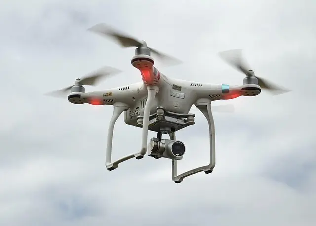
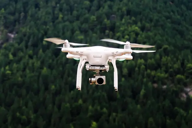
Drone technology involves the use of unmanned aerial vehicles (UAVs) equipped with advanced sensors and cameras to collect data from the environment. Aerial surveying is the process of gathering and analyzing data about the Earth's surface. When combined, they provide real-time, high-resolution imagery and geospatial data that was previously hard to obtain accurately or in a timely manner.
The technology allows for the gathering of vast amounts of data efficiently. Drones can fly over large areas quickly, capturing images and videos that can be processed to create detailed maps and models. This capability has transformed traditional surveying methods, which often relied on labor-intensive ground surveys.
According to a report by Gartner, the drone market is projected to exceed $100 billion by 2026, with a significant portion attributed to aerial surveying activities. Industries are adopting drones not only for their efficiency but also for the enhanced accuracy they provide, reducing the margin of error that can occur with manual surveys.
Steps for Using Drones in Aerial Surveying
Using drone technology for aerial surveying involves several systematic steps:
1. Planning the Flight
Before deploying a drone, careful planning is essential. This includes defining the survey area, selecting the appropriate drone model, and determining the type of data required (e.g., orthophotos, LiDAR).
2. Obtaining Required Permits
In many regions, operators must obtain licenses or permits for aerial surveys, ensuring compliance with local regulations. Understanding airspace restrictions and privacy laws is crucial for successful operations.
3. Executing the Flight
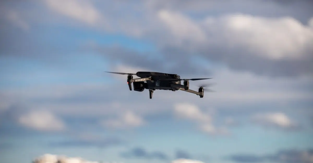
Once permitted, the drone can be flown autonomously or manually, capturing high-resolution images and data. Operators typically use advanced software to map out flight paths that ensure comprehensive coverage.
4. Data Processing
After the flight, the gathered data must be processed. Software is used to stitch together images and convert them into usable formats, like 3D models or detailed maps.
5. Analyzing the Data
Once processed, the data can be analyzed. Drones can provide insights for various applications, such as land development, resource management, and environmental assessments.


BISSELL CleanView with OnePass Technology Plus Upright Bagless Vacuum Sienna 3583
bissell.com
Comparative Analysis: Drones vs. Traditional Surveying Methods
Aerial surveying through drone technology shows clear advantages over conventional surveying methods. Here’s a comparative analysis:
| Criteria | Drone Surveys | Traditional Surveys | Verdict |
|---|---|---|---|
| Cost | Generally lower due to reduced man-hours | High, requiring extensive labor and equipment | Drones are more cost-effective |
| Time | Fast data collection (hours vs days) | Slower, often taking weeks | Drones considerably speed up the process |
| Accuracy | High accuracy levels; minimal human error | Variable accuracy based on team experience | Drones often have higher accuracy rates |
| Coverage | Extensive area coverage with minimal effort | Limited to accessibility and terrain | Drones can cover difficult areas more effectively |
Importance of Data Accuracy in Drone Surveys
The accuracy of data collected through drone surveys is paramount to ensure quality in decision-making processes. Errors in data can lead to costly mistakes in projects, affecting timelines, budgets, and even safety.
Modern drones equipped with high-resolution cameras and LiDAR can capture detailed and precise data on a large scale. For instance, according to UFC-Que Choisir, using drone technology can enhance data fidelity, with some systems achieving accuracy levels of within 1 centimeter. Such precision is critical for industries like land management, where accurate property boundaries can prevent disputes.
Expert Insights on Drone Technology
> 💡 Expert Opinion:
>
📺 Pour aller plus loin : how drone technology is changing aerial surveying 2026 sur YouTube
Recommended products
Selected by our experts

Clinique Redness Solutions Makeup Broad Spectrum SPF 15 With Probiotic Technology, Calming Honey - 1 fl. oz./30 ml
clinique.com

PLAUD Inc. Plaud Note AI Voice Recorder, Voice Recorder w/Case, App Control, Transcribe & Summarize with AI Technology, Support 112 Languages, 64GB
plaud.ai
Nonin Medical NoninConnect™ Finger Pulse Oximeter with Bluetooth® Smart Wireless Technology
concordhealthsupply.com
Nonin Medical NoninConnect™ Finger Pulse Oximeter with Bluetooth® Smart Wireless Technology
concordhealthsupply.com

Plaud NotePin AI Voice Recorder, Voice Recorder with Neck Strap Lanyard, Transcribe & Summarize with AI Technology, 64GB Memory
plaud.ai