Table of Contents (14 sections)
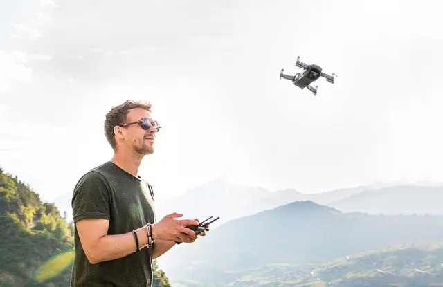
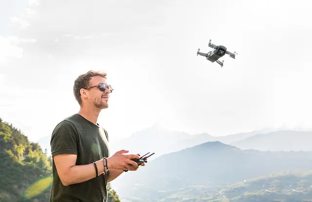
Drones, or unmanned aerial vehicles (UAVs), have emerged as a revolutionary technology that significantly enhances urban development. By providing an innovative approach to surveying and planning, drones enhance accuracy, efficiency, and cost-effectiveness. In this article, we will explore how drone technology is reshaping urban landscapes through improved surveying capabilities, data collection, and project management.
The Role of Drone Technology in Urban Planning
Understanding Drone Technology in Urban Context
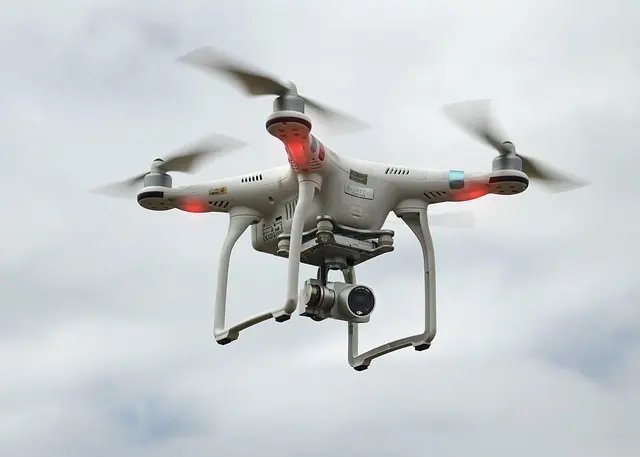
In the context of urban planning, drone technology encompasses the use of aerial vehicles equipped with cameras, sensors, and GPS technology to gather data from above. This allows city planners to capture high-resolution imagery, collect data on land use, and assess infrastructure conditions in real-time. According to the Federal Aviation Administration (FAA), the commercial drone market is expected to reach approximately $63 billion by 2025, illustrating the growing reliance on these technologies in various sectors, including urban planning.
The integration of drone technology into urban development offers various advantages, such as:
- Rapid Data Collection: Drones significantly reduce the time taken to survey large areas. For instance, a drone can map a 100-acre site in less than a day, a task that might take weeks using traditional methods.
- Cost-Effectiveness: By eliminating the need for manned flights or extensive ground surveys, drones can lower project costs, making urban planning more economically feasible.
- Enhanced Precision: Drones are capable of capturing detailed and accurate geographical data, essential for effective planning and decision-making in urban areas.
How Drone Surveys Improve Urban Development
Detailed Surveying and Analysis
Drones enhance surveying processes by providing in-depth insights into urban development areas. They can leverage LiDAR (Light Detection and Ranging) technology, which enables precise topographical maps and three-dimensional models of landscapes. This data is invaluable for urban planners who need to understand land contours, vegetation, and existing structures.
For example, cities like San Francisco have adopted drone technology for infrastructure assessments, enabling them to quickly identify maintenance needs for bridges and roads. By employing drones, planners can:
- Gain rapid access to hard-to-reach areas, avoiding the risks associated with manual surveys.
- Create 3D models that visualize urban transformations and development proposals, helping in stakeholder engagement and public presentations.
- Streamline the approval processes by providing accurate data to regulatory bodies.
Streamlining Project Management
Drone technology not only aids in data collection but also enhances project management and monitoring. Developers can utilize real-time aerial imagery to track construction progress against project timelines. This constant feedback loop allows for timely interventions, ensuring projects stay on track.
For instance, construction firms in urban areas have reported reduced delays and improved collaboration between stakeholders due to drone-assisted monitoring. The ability to view project stages from above fosters transparency and accountability within teams.

Milwaukee Leather 7.4V Men's True All Seasons Leather Jacket with Heated and Cool Technology
thewarmingstore.com


Comparative Analysis: Drones vs. Traditional Methods
| Criteria | Drones | Traditional Methods | Verdict |
|---|---|---|---|
| Speed of Data Collection | Fast (same day for large areas) | Slow (weeks for large sites) | Drones are significantly faster. |
| Cost | Lower operational costs | Higher due to manned flight and labor | Drones are more cost-effective. |
| Precision | High accuracy with 3D modeling | Varies, often lower precision | Drones offer higher precision. |
| Accessibility | Can reach difficult areas easily | Limited access in complex terrains | Drones can access hard-to-reach areas. |
Data-Driven Approaches: Statistics and Trends
Current Trends in Drone Technology
The use of drone technology in urban development has recently shown exponential growth. According to a report from Smithers Pira, the global market for drone technology in construction and surveying is projected to grow at a compound annual growth rate (CAGR) of 30% through 2026. This reflects an increasing adoption of drones in urban settings, as cities recognize the need for innovative solutions to address urban challenges.
Many urban planners are now integrating drones into their development strategies for reasons such as:
- Environmental Impact Assessments: Drones can be used to monitor natural resources and environmental changes, aiding sustainable development.
- Urban Infrastructure Planning: Drones facilitate data collection essential for understanding the impacts of urbanization on local environments.
Moreover, the European Union is promoting drone technology as part of its Smart Cities Initiative, positioning drones as key tools in developing smarter, more efficient urban areas.
Expert Insights on Drone Integration
💡 Expert Opinion: As urban areas continue to expand, leveraging cutting-edge technologies like drones can provide planners with the tools they need to create sustainable cities. Accurate data from drones enables informed decision-making that benefits urban communities. This shift not only fosters efficiency but also promotes environmental responsibility.
🎥 Resources for Further Learning
> 📺 For deeper insights: Watch videos on the applications of drone technology in urban planning, covering current trends, case studies, and expert interviews. Search on YouTube for “drone technology in urban development 2026.”
Samsung Laundry Dryer with AI Control and Heat Pump Technology in White(DV25FG62B0BEA2)
samsung.com

Samsung Front Load Washer & Dryer Set with Vibration Reduction Technology+ and Sensor Dry in White(BNDL-1603912197302)
samsung.com

BISSELL CleanView with OnePass Technology Plus Upright Bagless Vacuum Sienna 3583
bissell.com
Glossary
| Term | Definition |
|---|---|
| UAV | Aerial vehicles controlled remotely, often used for data collection. |
| LiDAR | Technology that uses laser light to measure distances and create maps. |
| CAGR | Compound Annual Growth Rate; the rate of return for an investment over a period. |
Checklist Before Implementing Drone Technology
- [ ] Assess state regulations for drone use.
- [ ] Identify unique urban planning needs.
- [ ] Train staff on drone operation and data interpretation.
- [ ] Choose appropriate drone models and technology.
- [ ] Establish protocols for data management and privacy concerns.
FAQs
{
Recommended products
Selected by our experts

Clinique Redness Solutions Makeup Broad Spectrum SPF 15 With Probiotic Technology, Calming Honey - 1 fl. oz./30 ml
clinique.com

PLAUD Inc. Plaud Note AI Voice Recorder, Voice Recorder w/Case, App Control, Transcribe & Summarize with AI Technology, Support 112 Languages, 64GB
plaud.ai
Nonin Medical NoninConnect™ Finger Pulse Oximeter with Bluetooth® Smart Wireless Technology
concordhealthsupply.com
Nonin Medical NoninConnect™ Finger Pulse Oximeter with Bluetooth® Smart Wireless Technology
concordhealthsupply.com

Plaud NotePin AI Voice Recorder, Voice Recorder with Neck Strap Lanyard, Transcribe & Summarize with AI Technology, 64GB Memory
plaud.ai