Table of Contents (9 sections)
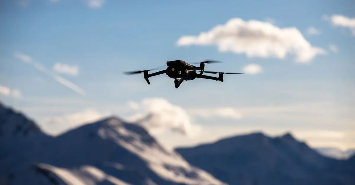
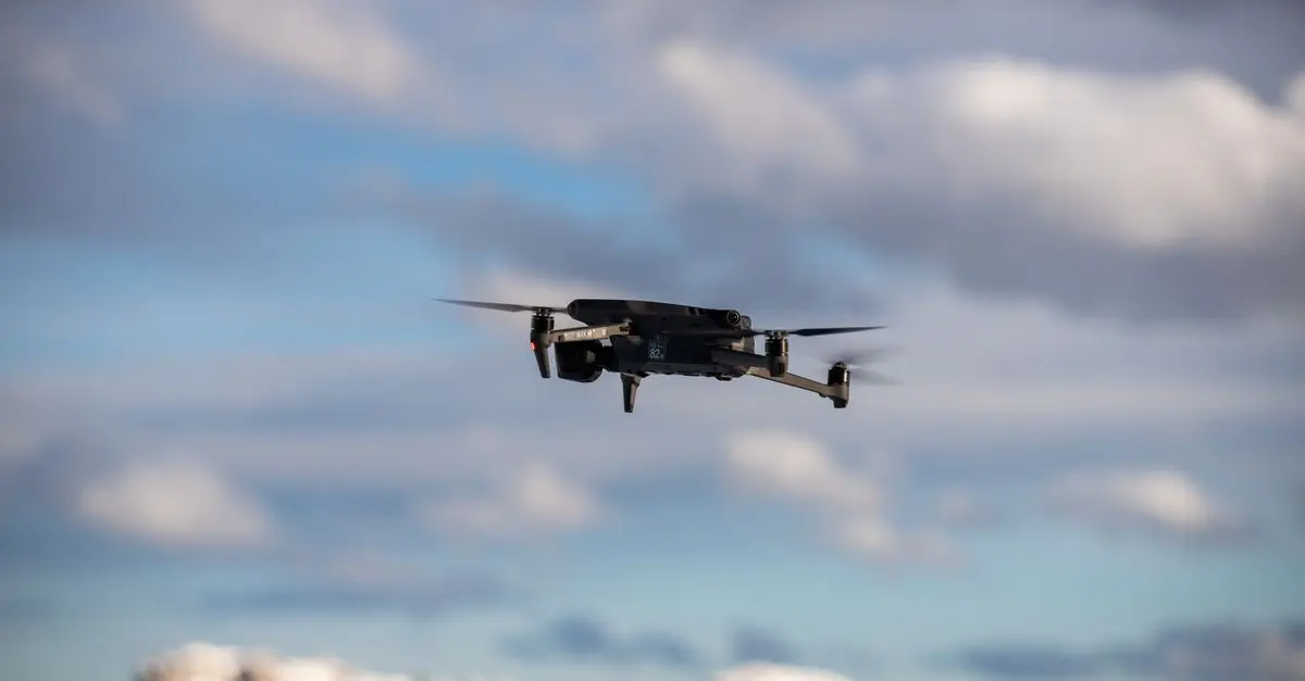
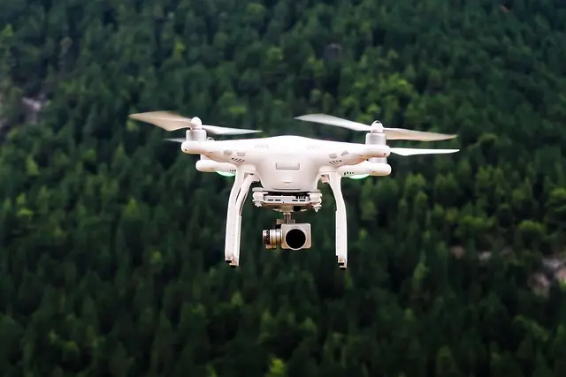
Aerial photography has revolutionized the way we capture images from above, offering unique perspectives that were once impossible to achieve. Traditionally, aerial photography relied on manned aircraft, which were expensive and limited in accessibility. However, the advent of drone technology has transformed the landscape of this art form dramatically. Drones have made aerial photography more accessible, affordable, and versatile, providing photographers with tools that enable them to capture stunning images from various heights and angles.
Drones are equipped with high-resolution cameras that capture incredible details, and they can fly at different altitudes depending on the desired shot. Furthermore, the technology behind drones continues to evolve, leading to improvements in flight stability, battery life, and image processing capabilities. As a result, aerial photography has expanded into various fields, including real estate marketing, filmmaking, agriculture, and environmental monitoring, making it a vital tool in our visually-driven society.
How Drones Are Transforming Aerial Photography Techniques
The incorporation of drones into aerial photography has altered traditional techniques significantly. Drones allow photographers to execute complex shots that were difficult and risky to achieve with helicopters or small planes, such as close-up captures of landscapes or building exteriors. With GPS and various sensors, drones can be programmed to follow specific flight paths, ensuring consistent shots from the same vantage point.
One popular technique includes the use of a drone to create time-lapse videos, capturing changes over time in a single location. This is especially useful in industries such as real estate where showcasing property development or agricultural changes can have significant impact. Moreover, drones equipped with advanced stabilization features provide smoother footage and sharper images, critical for professional results.
These advancements have led to the rise of applications like Google Earth Studio, which utilizes drone technology for automation in aerial imagery. As technology continues to improve, the potential for more innovative techniques grows, promising even more exciting developments in aerial photography in the near future.
Comparing Drone Models for Aerial Photography
When selecting a drone for aerial photography, several models stand out due to their unique features and capabilities. Here’s a comparative table to illustrate some of the main choices available:
| Feature | DJI Mavic Air 2 | Autel EVO Lite+ | Skydio 2 | Parrot Anafi |
|---|---|---|---|---|
| Camera Quality | 48 MP | 50 MP | 12 MP | 21 MP |
| Flight Time (mins) | 34 | 40 | 23 | 25 |
| Max Range | 10 km | 12 km | 3.5 km | 4 km |
| Price Range | $799 | $999 | $999 | $699 |
| Verdict | Great for beginners with excellent camera quality | Best for advanced users needing high resolution and longer flight | Best tracking capabilities | Affordable, but limited features |
Key Statistics & Trends in Aerial Photography
According to a report from Grand View Research, the aerial photography market is projected to reach $5.2 billion by 2027, growing at a compound annual growth rate (CAGR) of 14.2%. With the increase in drone usage, industries such as construction, agriculture, and real estate are leveraging aerial photography for improved insights and data visualization.
Moreover, a survey by Drones in America indicated that 73% of drone users reported improved operational efficiency in their businesses due to aerial photography. The rise of social media platforms further enhances the demand for quality visual content, pushing more professionals to invest in drone technology. As drone regulations become clearer, we can anticipate even broader adoption across various sectors.
Expert Advice on Getting Started with Aerial Photography
> 💡 Expert Opinion: To get started with aerial photography, consider the following tips:
> 1. Understand the regulations: Familiarize yourself with local drone laws and airspace regulations to avoid legal issues.
> 2. Practice flying: Before capturing important images, spend time getting comfortable with the drone controls to ensure stability and maneuverability.
> 3. Invest in good equipment: Quality lenses and stabilization systems can significantly impact your final image quality.
> 4. Experiment with angles: Different perspectives can change the message your photos convey; don’t hesitate to be creative.
By considering these tips, budding aerial photographers can enhance their skills and capture stunning visuals.
📺 Video Resource
> 📺 To go further: Understanding the Basics of Drone Photography, a comprehensive analysis of aerial photography techniques with drones. Search on YouTube: drone photography basics 2026.
Glossary
| Term | Definition |
|---|---|
| Drone | An unmanned aerial vehicle that can be remotely controlled or fly autonomously. |
| Aerial Photography | The art of capturing images from above the ground, often using drones for its accessibility and versatility. |
| Stabilization | Technology that ensures steady images and footage despite the drone's movements during flight. |
Checklist Before Purchase
- [ ] Determine the purpose of your aerial photography.
- [ ] Research local regulations regarding drone flights.
- [ ] Compare different drone models based on specifications.
- [ ] Practice flying before attempting to shoot.
- [ ] Follow safety guidelines to avoid accidents.
📺 Pour aller plus loin : drone photography basics 2026 sur YouTube