Table of Contents (9 sections)
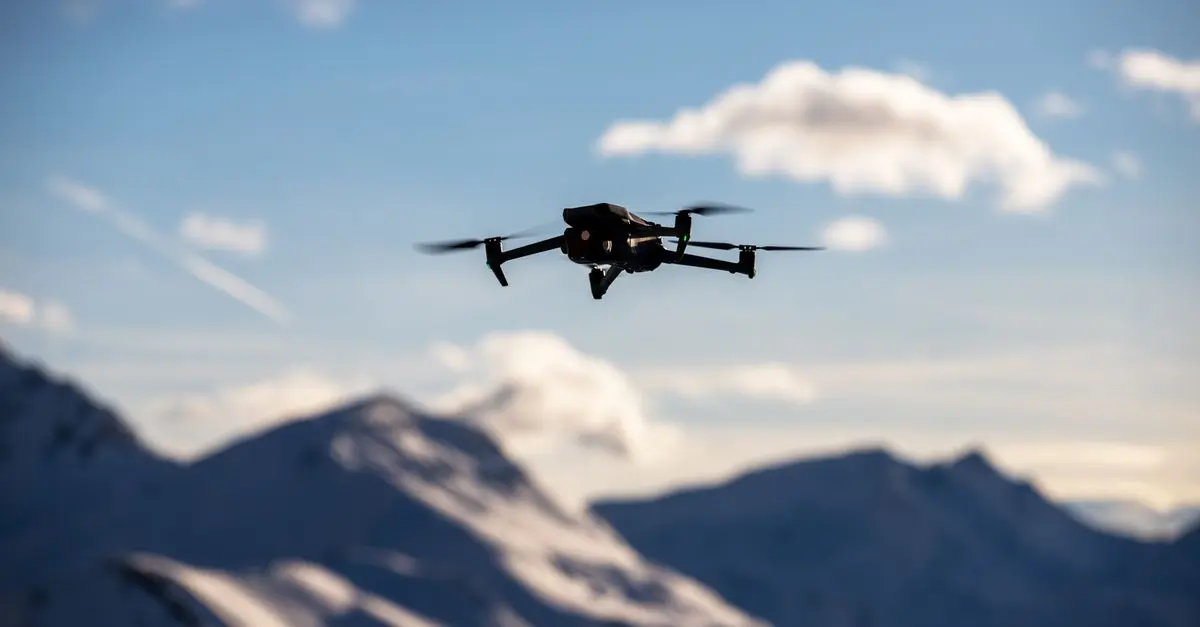
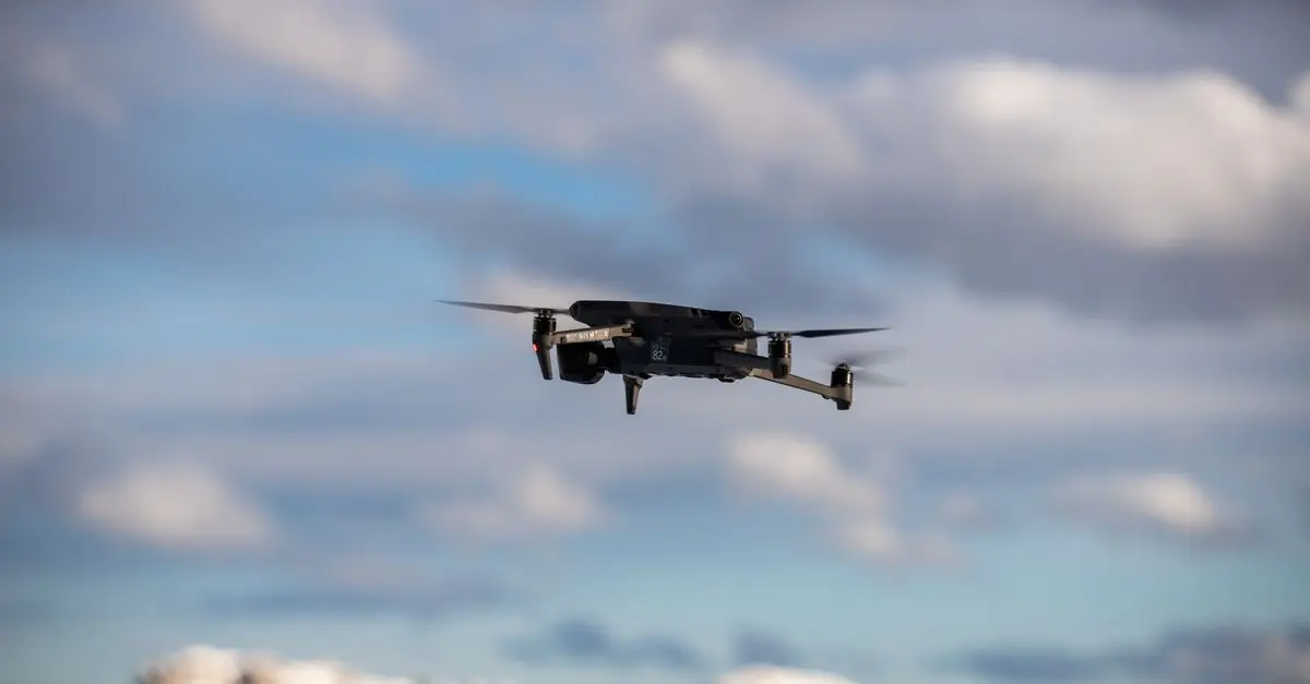
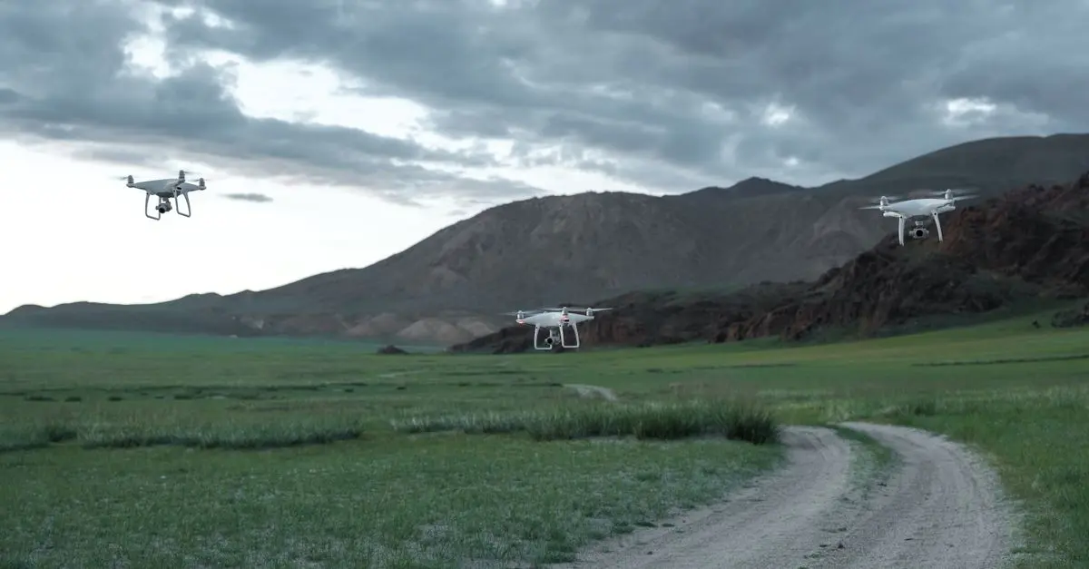
The application of drones in environmental monitoring has significantly evolved over recent years, providing researchers and conservationists with powerful tools to enhance their efforts. Drones, or unmanned aerial vehicles (UAVs), allow for the collection of high-resolution imagery and data that was previously difficult or impossible to obtain. Their flexibility and efficiency have made them invaluable in various environmental applications, from wildlife tracking to habitat mapping.
Definition and Context: What Are Drones Used For in Environmental Monitoring?
Drones are equipped with advanced sensors, cameras, and mapping technologies, enabling them to capture data that is crucial for environmental studies. When we refer to drones in the context of environmental monitoring, we are discussing their ability to gather information on ecological health, biodiversity, land use, and climate conditions. These aircraft are particularly beneficial in remote or hard-to-reach areas, providing researchers with insights that can enhance conservation strategies.
The impact of drones extends to various fields, including agriculture, forestry, and marine biology. For instance, in forestry, drones are used to assess tree health, measure canopy density, and monitor deforestation levels (according to a report by UFC-Que Choisir). Similarly, in marine environments, drones capture footage of coral reefs and aquatic life, contributing to studies on marine biodiversity and ecosystem resilience.
How Drones Are Used in Environmental Monitoring: A Step-by-Step Guide
- Planning the Mission: The first step in using drones for environmental monitoring is mission planning. This involves selecting the area of interest and determining the data required. GIS (Geographic Information System) tools can assist in outlining flight paths and target zones.
- Equipping the Drone: Depending on the mission, drones can be fitted with different sensors. Common options include RGB cameras for detailed images, thermal cameras for temperature data, and multispectral sensors for analyzing vegetation health. The choice of sensor can significantly affect data quality and applicability.
- Conducting the Flight: Once the drone is equipped, it is launched according to the planned mission. Autonomous flight technology allows drones to follow predetermined paths, ensuring systematic and repeatable data collection.
- Data Collection and Analysis: The drone collects data during its flight, which is then processed through specialized software. Geographic Information System (GIS) and drone mapping software can generate detailed maps and 3D models from the collected data, enabling precise analysis of the area.
- Reporting and Implementation: Finally, the results are compiled into reports that can inform conservation strategies and environmental policies. Decision-makers can leverage this data to enhance ecological management and direct funding to critical areas.
This systematic approach allows for efficient monitoring of changes in the environment over time, supporting ongoing conservation efforts.
Comparative Uses of Drones in Environmental Monitoring
| Environmental Monitoring Use | Strengths | Limitations | Ideal Scenarios |
|---|---|---|---|
| Wildlife Tracking | Non-intrusive, real-time data | Limited battery life | Tracking migration patterns |
| Habitat Mapping | High-resolution images | Weather dependent | Mapping large areas rapidly |
| Pollution Monitoring | Accessible remote locations | Data analysis complexity | Monitoring industrial sites |
| Forest Health Assessment | Precise measurements of tree health | Ground truthing needed | Assessing deforestation impacts |
Data-Driven Insights on the Impact of Drones
Drones are reshaping environmental research, with various studies backing their efficacy. According to research from Les Numériques (2026), the use of UAVs in forestry can reduce costs by up to 60% compared to traditional surveying methods. Similarly, another study highlights that drone-collected data in wildlife research has increased data accuracy by over 30%, which is instrumental in tracking endangered species.
Additionally, drone technology is expected to grow in significance, especially as regulations around UAV usage become more refined. The global drone services market is projected to expand by 50% by 2026(source: INSEE), indicating that the rising integration of drones in environmental processes is a trend that will continue to evolve.
Expert Insights on Drone Technology
💡 Expert Opinion: The integration of drone technology in environmental monitoring is a game-changer. The potential for real-time data collection and high-resolution imagery enables us to make data-driven decisions that can significantly enhance conservation efforts. The multifaceted capabilities of drones—from monitoring biodiversity to tracking pollutants—demonstrate their undeniable importance in modern environmental studies.
FAQ on Drones in Environmental Monitoring
Q1: What types of sensors are typically used in drones for environmental monitoring?
A1: Drones commonly use RGB cameras, multispectral sensors, and thermal cameras, depending on the monitoring objectives.
Q2: How can drones help in wildlife conservation?
A2: Drones can track animal movements, monitor habitats, and assess population health without disturbing wildlife.
Q3: Are drones effective in monitoring deforestation?
A3: Yes, drones provide high-resolution imagery that can identify deforestation over time precisely and efficiently.
Q4: What challenges are associated with using drones in environmental studies?
A4: Limitations include regulatory restrictions, the need for technical expertise, and the potential for equipment failure.
Checklist Before Using Drones for Environmental Monitoring
- [ ] Define the objectives of the drone mission
- [ ] Select the appropriate sensors based on monitoring needs
- [ ] Plan flight paths using GIS tools
- [ ] Ensure regulatory compliance for drone usage
- [ ] Prepare a data analysis plan post-flight
Glossary
| Term | Definition |
|---|---|
| UAV | Unmanned Aerial Vehicle, commonly known as a drone. |
| GIS | Geographic Information System, used for mapping and analyzing spatial data. |
| Multispectral Sensors | Sensors that can capture data at various wavelengths, useful for assessing vegetation health. |
> 📺 For further exploration: Watch videos on the latest drone technology in environmental monitoring. Search on YouTube: "drones for conservation 2026".
In conclusion, the increased application of drones in environmental monitoring signifies a transformative approach to understanding and preserving our natural world. Their efficiency in data collection allows for timely intervention in conservation efforts, supporting a sustainable future.
Explore our featured products below to enhance your environmental monitoring capabilities.
📺 Pour aller plus loin : drones for conservation 2026 sur YouTube
Recommended products
Selected by our experts
Smart Caregiver Complete Bed and Chair Exit Monitoring System
concordhealthsupply.com
This monitoring system can enhance data collection and reporting efforts in environmental studies.
Smart Caregiver Complete Bed and Chair Exit Monitoring System
concordhealthsupply.com
An advanced exit monitoring system can support safety protocols during drone operations.
Masimo Rad-97 Pulse CO-Oximeter with NIBP Blood Pressure Monitoring
concordhealthsupply.com
A versatile pulse oximeter can facilitate health monitoring in wildlife studies, providing crucial data for conservationists.