Table of Contents (12 sections)
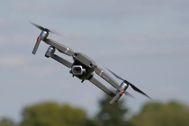
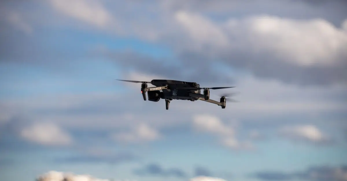
As we venture deeper into 2026, drone technology stands at the forefront of urban transformation. With rapid advancements and growing integration into various sectors, drones are redefining how we interact with our cities. This article explores the major trends shaping the future of drone technology in urban environments, helping to establish a clear understanding of its potential and implications.
🌟 Major Trends in Drone Technology
1. Urban Air Mobility (UAM)
Urban Air Mobility is one of the most talked-about trends in drone technology. According to a recent report by the International Civil Aviation Organization, UAM could help alleviate urban congestion and provide efficient transportation solutions for short distances. By 2026, cities around the world are expected to introduce air taxi services, enabling commuters to bypass traffic altogether. Companies are conducting successful trials, and cities like Los Angeles and Dubai are leading the charge. The UAM market is projected to reach $1 trillion by 2040, underscoring its transformative potential.
💡 Expert Opinion: According to UFC-Que Choisir, implementing UAM could significantly reduce travel times within urban areas, providing a direct alternative to traditional public transport systems.
2. Drone Delivery Services
The rise of e-commerce paired with increasing demand for instant deliveries has paved the way for drone delivery services. Local businesses and multinational corporations alike are investing heavily in drone technology to move products quickly and efficiently. By utilizing drones, companies can drastically reduce delivery times and costs. Amazon has already begun pilot programs in selected areas, and consistent findings from studies show that drone delivery can be 60% faster than typical ground delivery methods.
Moreover, certain companies report having developed technologies that allow drones to deliver to hard-to-access places, showcasing the versatility of drone deliveries.
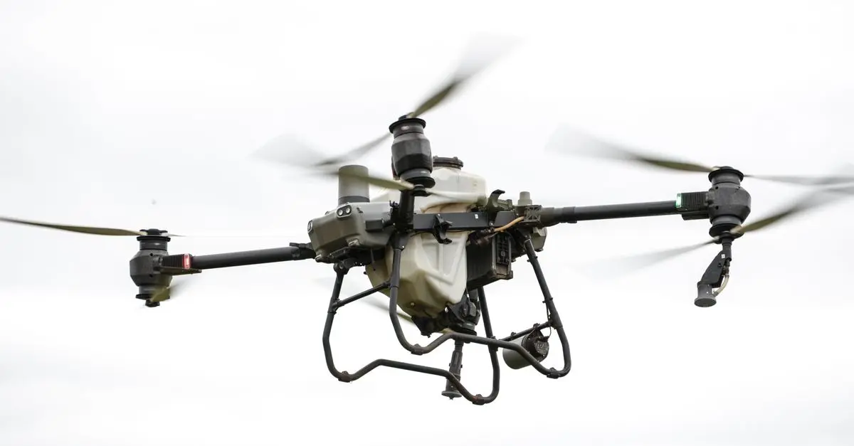
3. Infrastructure Monitoring and Maintenance
Urban infrastructure requires regular oversight to ensure safety and performance. Drones equipped with high-resolution cameras and sensors can conduct thorough inspections of structures such as bridges, roads, and power lines. As per NASA, using drones for infrastructure monitoring has proven to be 30% more efficient than traditional methods. This technology minimizes human risk and significantly cuts down on labor costs. Cities like San Francisco have begun to implement drone-assisted inspections, demonstrating practical applications of this technology in real-world scenarios.
4. Disaster Response and Management
In crises, every second counts. Drones are increasingly becoming pivotal in disaster response efforts, offering rapid assessment of damage and identifying areas needing immediate attention. A recent study highlighted that using drones during hurricane rescue missions improved response times by up to 50%.
By equipping drones with thermal imaging and mapping capabilities, urban areas can quickly develop strategies for evacuation and aid distribution, demonstrating a critical application that could save lives.
5. Environmental Monitoring
The capability of drones to gather real-time environmental data makes them invaluable for urban planning and sustainability efforts. For instance, drones can track air quality, noise levels, and other environmental factors impacting urban communities. According to recent findings from ARUP, cities utilizing drone technology for environmental monitoring have reported a 20% improvement in sustainability metrics. Urban planners can use this data to make informed decisions about zoning and resource allocation.
6. Integration with Smart City Solutions
Drones are also integrating seamlessly into the broader framework of smart city initiatives. By interacting with IoT devices, drones can enhance services like traffic management and emergency response. For example, as drones gather data, they can feed it back into the city's traffic systems, optimizing routes and reducing congestion. Cities like Singapore are leading this charge, with smart infrastructure that utilizes data from drones to improve urban living conditions. Studies indicate that smart cities may significantly increase resident satisfaction by around 40% due to improved services and efficiency.
📺 For Further Exploration
To dive deeper into these trends and see drones in action, check out: [Exploring Drone Technology for Urban Solutions], available on YouTube. Search for “drone technology in urban planning 2026.”


Adata ai910 mfi certifié 3 voies transférés lightning lecteur avec les cartes sd carte microsd pour ios, ipad, iphone, mac et pc
Darty FR

Glossary
| Terme | Définition |
|---|---|
| Drone | Un appareil non piloté qui peut voler à distance pour diverses applications, telles que la livraison ou la surveillance. |
| Urban Air Mobility (UAM) | Le concept d'intégrer les services de transport aérien de passagers et de marchandises dans l'environnement urbain. |
| Smart City | Une ville qui utilise des technologies numériques pour améliorer la qualité des services et réduire les coûts dans la gestion et l'optimisation. |
Checklist avant achat
- [ ] Vérifier les normes de sécurité pour les drones.
- [ ] Comparer les différentes plateformes de livraison par drone.
- [ ] Évaluer les options de caméra pour l'inspection des infrastructures.
- [ ] Contrôler la compatibilité des drones avec les systèmes smart city.
- [ ] Considérer les impacts environnementaux des drones dans l'urbanisme.
📺 Pour aller plus loin : drone technology in urban planning 2026 sur YouTube
Recommended products
Selected by our experts
Jupiter Creations Inc RC Rocket Drone
sharperimage.com
This RC Rocket Drone is a fun example of how drone technology is evolving and can be enjoyed or utilized in urban exploration.
Adata ai910 mfi certifié 3 voies transférés lightning lecteur avec les cartes sd carte microsd pour ios, ipad, iphone, mac et pc
Darty FR
This memory card reader is essential for storing and transferring high-resolution images captured by drones.
Kingston Technology FURY 16GB 3200MT/s DDR4 CL20 SODIMM Impact
Topbiz FR
This RAM is ideal for devices used to process drone data and graphics, ensuring smooth operation in urban monitoring systems.