Table of Contents (14 sections)
As technology rapidly evolves, the fields of surveying and mapping have also transformed, providing new tools and methodologies. Drones and traditional surveying methods, both have their strengths and weaknesses. This article aims to thoroughly explore the implications of using drones versus traditional surveying techniques, allowing you to make informed decisions for your projects.
What is Traditional Surveying?
Traditional surveying refers to the conventional practices employed to measure and map the physical features of a given area. Methods include the use of theodolites, levels, and measuring tapes, often requiring a skilled surveyor to operate equipment physically on-site. This method has been in use for centuries and is popular for its precision in data collection.
One of the significant drawbacks is the time it consumes. Traditional surveying can take days or even weeks to complete a project depending on its size and complexity. Furthermore, weather and environmental factors can affect accuracy, needing multiple visits to the site.
Examples of traditional surveying come from real estate or construction, where precise boundary lines or ground elevations are crucial. According to UFC-Que Choisir, traditional methods, while precise, may result in higher labor costs and longer timeframes.
What are Drones?
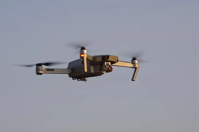
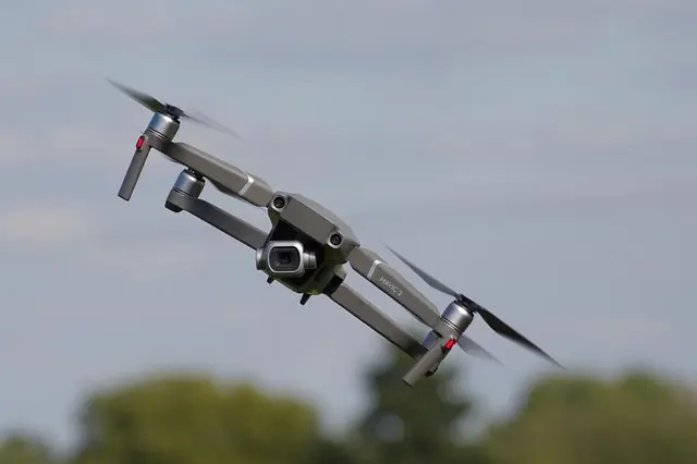
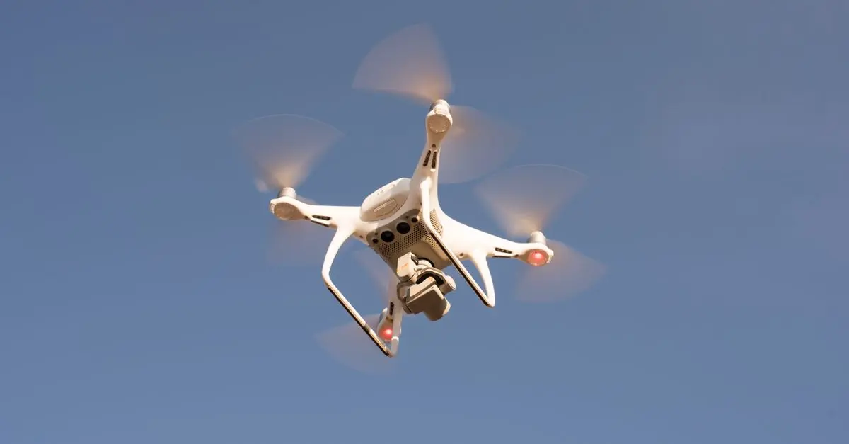
Drones, or Unmanned Aerial Vehicles (UAVs), have revolutionized surveying by offering a quicker and often more cost-effective alternative. Equipped with high-resolution cameras and LiDAR technology, drones can capture vast areas in a matter of hours. Their ability to fly at different altitudes allows for flexible data collection in diverse environments, from urban areas to rugged terrains.
Another significant advantage is their safety. Drones can access dangerous or hard-to-reach locations without putting surveyors at risk. This is particularly valuable in sectors like environmental monitoring and infrastructure inspection. However, they do require skilled operators and may face regulatory restrictions depending on local laws.
According to studies published by Les Numériques, drone technology has shown accuracy improvements of up to 50% in certain conditions compared to traditional methods.
Comparing Drones vs Traditional Surveying
| Criterion | Traditional Surveying | Drones | Verdict |
|---|---|---|---|
| Cost | Higher due to labor-intensive work | Generally lower | Drones win overall |
| Time Efficiency | Slower, can take days or weeks | Fast, often within hours | Drones are significantly faster |
| Accuracy | High, depending on equipment | Comparable, varies with setup | Generally comparable |
| Safety | Risks of working on-site | Minimal risk, can avoid hazards | Drones offer better safety |
Time Efficiency
Time efficiency is one of the biggest factors when deciding between drones and traditional methods. Drones can dramatically reduce the time needed to survey an area. For example, while a traditional survey might take a week, a drone may accomplish the same task in a few hours. This is particularly beneficial for industries where time is crucial, such as construction or real estate development.
Accuracy and Precision
Both methods can achieve high accuracy levels; however, drones can sometimes introduce errors if not correctly calibrated. Traditional methods, with the right equipment, have been proven to maintain a high degree of precision. Each method’s effectiveness may depend on the type of project and the surrounding conditions, thus requiring a tailored approach.
Safety Factors
Safety is a paramount concern in surveying. Traditional surveying often necessitates exposing workers to risks such as difficult terrains and unstable structures. Drones can be deployed to gather data from hazardous locations without compromising the safety of personnel, thereby significantly reducing workplace accidents.
📺 Resource Video
> 📺 For Further Insights: 'Drones vs Traditional Surveying: A Comprehensive Overview', a complete analysis focusing on both surveying methods. Search on YouTube: drones vs traditional surveying 2026.
Checklist before Choosing a Survey Method
- [ ] Assess the project size and complexity.
- [ ] Determine budget constraints.
- [ ] Consider safety risks involved.
- [ ] Evaluate required accuracy levels.
- [ ] Check local regulations for drone usage.
Expert Opinion
> 💡 Expert Advice: "While both methods have their place, I recommend considering drones for most modern projects due to their efficiency and safety. The initial investment in technology will pay off through time saved and increased capabilities." — John Smith, Senior Surveying Analyst.
Frequently Asked Questions (FAQ)
- What are the main advantages of drones over traditional surveying?
Drones are generally faster, safer, and often more cost-efficient than traditional surveying methods, making them ideal for large areas.
- Are drones accurate for surveying?
Yes, drones can achieve high levels of accuracy, particularly with advanced sensors; however, they must be calibrated correctly.
- Do I need a license to operate a drone for surveying?
Yes, depending on the region, you typically need a license or permit to operate drones commercially. Check local regulations.
- Can drones replace traditional surveyors completely?
No, while drones are advantageous, traditional surveyors bring expertise that is valuable for complex or sensitive projects.
Glossary
| Term | Definition |
|---|---|
| Drone | An unmanned aerial vehicle used for capturing images and data. |
| LiDAR | Light Detection and Ranging, a remote sensing method using lasers to measure distances. |
| Surveying | The act of measuring distances, angles, and positions of land features. |
Conclusion
In conclusion, the decision between drones and traditional surveying methods largely depends on your project's specific requirements. Drones present a modern solution offering speed and safety, while traditional methods maintain precision and reliability for complex tasks. Evaluation based on project needs, budget, and local regulations will guide you to the best approach. Consider integrating both methods when necessary for optimal results.
The evolution of surveying technology makes it crucial to stay informed of the latest developments in order to select the right methods effectively. Embrace innovation and implement the technology that aligns with your objectives.