Table of Contents (9 sections)
What Are Drones in Urban Planning?
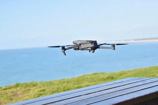
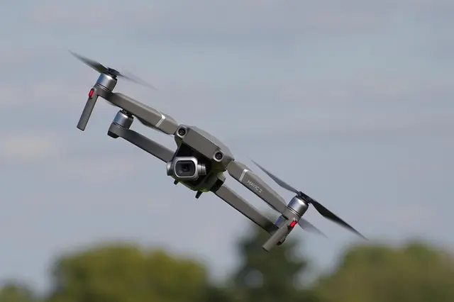
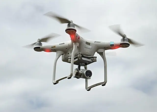
Drones, or unmanned aerial vehicles (UAVs), are increasingly becoming integral tools in urban planning. These small, remotely piloted aircraft facilitate numerous tasks, such as aerial imagery collection, topographical mapping, and environmental monitoring. Drones can gather high-resolution images and real-time data of urban areas, providing invaluable insights for planners.
The integration of drones in urban planning offers several benefits. First, they provide access to previously difficult-to-reach areas, allowing planners to assess landscapes in a way that traditional methods often cannot. For instance, capturing images of high-rise buildings or complex layouts becomes feasible without scaffolding or extensive machinery. Similarly, drones can monitor sprawling urban developments over time, monitoring changes and planning responses more effectively.
To understand the impact of drones, one must recognize the diverse environments where they can be employed. Studies have shown that drones can cover large areas in a fraction of the time required for ground surveys, decreasing costs and increasing the scope of projects. According to research by the American Society of Civil Engineers, incorporating drone technology into urban planning can reduce planning time by up to 30%. This rapid advancement in technology is paving the way for smarter, more efficient urban spaces.
How Drones Enhance Urban Planning Processes
The advent of drones has revolutionized urban planning in multiple ways. Primarily, they enhance data collection, providing planners with a more nuanced view of urban environments. Drone technology is particularly beneficial in generating 3D maps and models, which allow city planners to visualize developments and conduct analyses more comprehensively.
Step-by-Step Implementation
- Define Objectives: Identify what data is necessary for the urban planning project, such as land use, vegetation cover, or traffic patterns.
- Select Appropriate Drone: Choose drones based on the specific needs of the project—whether it's for high-resolution imagery, thermal analysis, or large-area mapping.
- Data Collection: Conduct flights over designated areas, ensuring compliance with local regulations regarding airspace and privacy.
- Data Analysis: Use software to analyze the collected data, producing maps and models that can guide planning decisions.
- Stakeholder Engagement: Share data findings with community stakeholders through presentations or interactive platforms, fostering transparency and engagement.
This systematic approach helps planners integrate drone technology smoothly into their workflows. As surveys become faster and data more accurate, the public is likely to benefit from quicker responses to urban challenges, better resource management, and participatory planning processes.
Comparison of Drone Types for Urban Planning
When it comes to selecting drones for urban planning, various types serve different operational needs. Below is a comparison table highlighting distinct drone categories and their applications.
| Drone Type | Features | Ideal For | Limitations |
|---|---|---|---|
| Fixed-Wing | Long-range flights, high endurance | Large area mapping | Limited maneuverability |
| Multirotor | Vertical takeoff, precision | Detailed inspections | Shorter flight times |
| Hybrid | Combination of fixed-wing and multirotor | Versatile applications | Higher cost |
| Lidar Drones | Laser mapping, topographic data | Terrain analysis | Requires specialized training |
Statistics and Trends in Drone Use
Statistics emphasize the growing role of drones in urban planning. According to a report by PwC (2025), drone usage in the construction and real estate sectors is expected to reach a market value of $127 billion by 2026. Additionally, a survey conducted by the National League of Cities found that 70% of city planners intend to use drones for strategic planning-related tasks in the next five years.
The upward trend can largely be attributed to advancements in drone technology, including improved battery life, enhanced imaging capabilities, and the integration of artificial intelligence. These technological advancements not only expand the use cases for drones but also improve their efficiency and effectiveness in urban planning.
Frequently Asked Questions
Q1: What are the legal restrictions for using drones in urban areas?
A: The legal regulations vary by country and city, typically involving restrictions on altitude, airspace use, and privacy concerns. It's essential to consult local aviation authorities and comply with regulations like the FAA in the U.S.
Q2: How much does it cost to implement drone technology in urban planning?
A: Initial costs can range from a few thousand for basic drones to tens of thousands for advanced models with specialized equipment. Training and software can add to this cost.
Q3: Are drones accurate enough for urban planning tasks?
A: Yes, modern drones can achieve accuracies within centimeters when equipped with appropriate technology, making them reliable for detailed mapping and analysis.
Q4: How can community members engage in the urban planning process with drone data?
A: Planners can share aerial imagery and data analytics through public forums or interactive platforms, allowing community feedback on proposed developments.
Glossary
| Term | Definition |
|---|---|
| UAV (Unmanned Aerial Vehicle) | A type of aircraft that operates without a human pilot onboard. |
| Lidar | A remote sensing method that uses laser light to measure distances and create 3D models. |
| GIS (Geographic Information System) | A framework for gathering, managing, and analyzing spatial and geographic data. |
Checklist Before Implementing Drone Technology
- [ ] Assess the project's data requirements.
- [ ] Decide on the drone type relevant to the project goals.
- [ ] Ensure compliance with local laws and regulations.
- [ ] Gather a team trained in drone operation and data analysis.
- [ ] Establish a stakeholder engagement plan.
🧠 Quiz rapide : What is the primary function of drones in urban planning?
- A) Recreational use
- B) Data collection and analysis
- C) Aerial photography
Réponse : B — Drones serve primarily for efficient data collection and analytical purposes in planning.
📺 Pour aller plus loin : Explore how drones are reshaping urban landscapes, a detailed analysis of innovative drone applications. Look for videos on YouTube: "drones in urban planning 2026".
📺 Pour aller plus loin : drones in urban planning 2026 sur YouTube