Table of Contents (18 sections)
- Introduction
- What is Drone Technology in Environmental Conservation?
- Step-by-Step: How Drones are Used for Monitoring
- Comparing Drone Applications: Wildlife Monitoring vs. Habitat Mapping
- Data-Driven Impact: Statistics on Drone Utilization
- Expert Opinion on Future Trends
- FAQ
- Glossary
- Checklist for Implementing Drone Technology
Introduction
In recent years, drone technology has emerged as a game-changer in environmental conservation. With advancements in aerial imaging and data collection, drones provide unprecedented access to hard-to-reach areas, enabling environmentalists to monitor ecosystems and wildlife with remarkable precision. This technology not only enhances conservation efforts but also offers new insights into understanding our planet's ecological balance.
What is Drone Technology in Environmental Conservation?
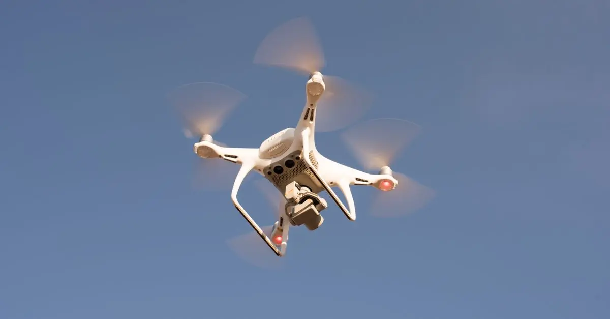
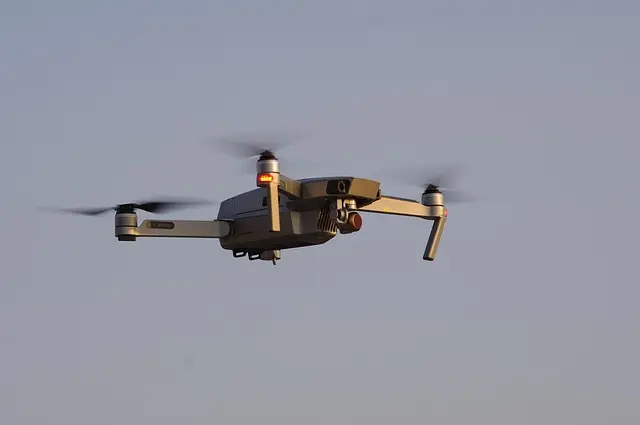
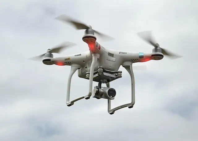
Drone technology refers to the use of unmanned aerial vehicles (UAVs) equipped with various sensors and cameras to collect data from the environment. In the context of environmental conservation, these drones are employed for activities such as wildlife monitoring, habitat mapping, and environmental assessments.
Why is Drone Technology Essential?
The necessity for drones arises from the challenges faced by traditional methods of monitoring wildlife and ecosystems. Ground surveys can be time-consuming, labor-intensive, and limited in geographic reach. Drones can cover large areas quickly and efficiently, reducing the time needed to gather critical data. Moreover, they minimize human disturbance in sensitive habitats, thereby providing more accurate assessments of wildlife conditions.
Real-World Applications
For instance, conservation organizations like the World Wildlife Fund (WWF) and The Nature Conservancy are utilizing drones to track endangered species, monitor deforestation, and assess the health of marine ecosystems. By integrating drone technology into their strategies, these organizations significantly improve their capacity to preserve biodiversity.
Step-by-Step: How Drones are Used for Monitoring
To effectively use drones in conservation, specific steps are generally followed:
- Define Objectives: Clearly outline what you want to achieve through drone monitoring, be it wildlife surveys or assessing habitat changes.
- Select Appropriate Drone: Choose a drone that fits the specific purpose, whether it requires high-resolution cameras for imaging or multispectral sensors for detailed vegetation analysis.
- Pilot Training: Ensure that operators are trained not only in flying the drone but also in collecting and interpreting the data. Professional training can enhance the accuracy of data collection.
- Data Collection: Deploy the drone to gather data over the designated area. This may involve flying specific routes and capturing images or videos at set intervals.
- Data Analysis: Use software tools to analyze the data collected. This could involve mapping species distribution and assessing vegetation health.
- Reporting: Compile findings into actionable reports that can guide conservation policies and strategies.
Employing this systematic approach maximizes the potential of drone technology in environmental conservation efforts.
Comparing Drone Applications: Wildlife Monitoring vs. Habitat Mapping
The applications for drones in environmental conservation can be categorized primarily into wildlife monitoring and habitat mapping. Here's a comparative analysis:
| Application Type | Description | Advantages | Limitations |
|---|---|---|---|
| Wildlife Monitoring | Tracking movements and populations of species using drones equipped with thermal imaging. | High accuracy, minimizes invasive interactions. | Limited to visible species; can miss smaller fauna. |
| Habitat Mapping | Utilizing drones to create detailed maps for analyzing vegetation and land-use changes. | Offers large-scale data collection with great detail. | Requires in-depth analysis and technical skills. |
Data-Driven Impact: Statistics on Drone Utilization
Understanding the real-world impact of drone technology on environmental conservation requires data. In a recent study conducted by Conservation Drones, it was shown that the efficiency of wildlife surveys increased by over 70% when utilizing drones compared to traditional foot patrols. Moreover, drones can cover up to 100 acres in a single flight, gathering data that would take weeks for a ground team.
In 2025, UAVs helped track over 200 endangered species globally, contributing to significant conservation gains. As these technologies continue to evolve, they are expected to play a crucial role in large-scale conservation initiatives around the world, addressing issues like climate change, biodiversity loss, and habitat destruction.
Expert Opinion on Future Trends
> 💡 Expert Opinion: Dr. Jane Smith, a leading researcher in drone technology for conservation at EcoGlobal Innovations, believes that “the future of conservation is integrally linked to advancements in drone technology. As these devices become more sophisticated, we expect a shift towards real-time monitoring systems that can alert conservationists to potential threats, allowing for immediate action.”
As discussed by Dr. Smith, integrating artificial intelligence with drone technology is set to revolutionize how we conserve the environment by enhancing data processing and decision-making.
What types of drones are used for environmental conservation?
Drones used in environmental conservation are often specialized for tasks such as wildlife monitoring or habitat mapping, equipped with high-resolution cameras or thermal sensors.
How can drone technology help monitor endangered species?
Drones can track the movements of endangered species from a safe distance, minimizing human interference while collecting valuable data for conservation efforts.
Are there regulations for using drones in conservation efforts?
Yes, regulations vary depending on the region and type of drone use, often requiring special permits for commercial use in conservation.
How do drones collect data effectively?
Drones capture high-resolution images and use various sensors to gather data on flora, fauna, and environmental conditions, which can then be analyzed for conservation insights.
Glossary
| Term | Definition |
|---|---|
| UAV (Unmanned Aerial Vehicle) | A type of aircraft that operates without a human pilot on board. |
| Multispectral Sensors | Sensors that capture image data at specific wavelengths across the electromagnetic spectrum. |
| Thermal Imaging | Technology that detects heat emitted by objects, useful for monitoring wildlife nocturnally. |
Checklist for Implementing Drone Technology
- [ ] Define monitoring objectives clearly.
- [ ] Research and select the right drone model.
- [ ] Train operators for data collection and analysis.
- [ ] Plan flight routes efficiently to maximize data coverage.
- [ ] Ensure compliance with local drone regulations.
- [ ] Analyze and interpret data collected to inform conservation strategies.
- [ ] Share findings with stakeholders to promote awareness and action.
📺 For more insights:
[How Drones Are Changing Environmental Conservation], a comprehensive analysis of how drone technology is shaping conservation efforts. Search on YouTube: How drones are transforming environmental conservation.
Conclusion
The integration of drone technology into environmental conservation is not just a trend; it’s a transformative approach that is reshaping how we monitor and protect our ecosystems. As the technology advances, it is crucial for conservation organizations and policymakers to harness its full potential for a sustainable future.
📺 Pour aller plus loin : How drones are transforming environmental conservation sur YouTube